
Southside Data Centre
Design & Visual Impact
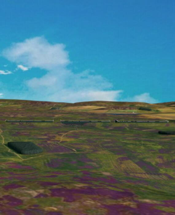
Designed for the landscape
Data centres are traditionally functional structures built where land is available, with architectural appearance and height of buildings combined with placement of equipment often treated as a secondary priority. Southside Data Centre is being designed with a different approach, treating landscape integration as a core design responsibility from the outset. This approach does increase the footprint of the buildings, but this is the trade-off to limit height.
As custodians of this part of the Lammermuir landscape, Roxburghe Estates and the project team are developing the facility to align with the high environmental and visual standards that this rural setting requires.

How the design works
The proposed site is located within a natural hillside bowl, which the developer seeks to enhance. By mimicking the steeper undulating nature of the nearby topography, the design utilises the enhanced bowl to position the buildings and reduce their visible height from surrounding viewpoints. The earth displaced during excavation will be repurposed to construct sculpted screening earthworks around the perimeter of the site.
These earthworks are shaped to follow the rolling form of the surrounding hills. Planted with native species, they will integrate into the existing landscape over time. Additionally, the buildings will feature living roofs, further blending the structures into the moorland setting while providing new habitats for local birds and invertebrates.
Visual impact has been a primary consideration throughout the design process. The final layout will be formally assessed through an independent Landscape and Visual Impact Assessment (LVIA), which forms a core part of the statutory Environmental Impact Assessment (EIA).
PLEASE NOTE: All visualisations show a white outline for the roofs of buildings, this colour has been chosen for visualisation purposes to show the shape of the building, in green it proved impossible to see the shape in the visualisations.
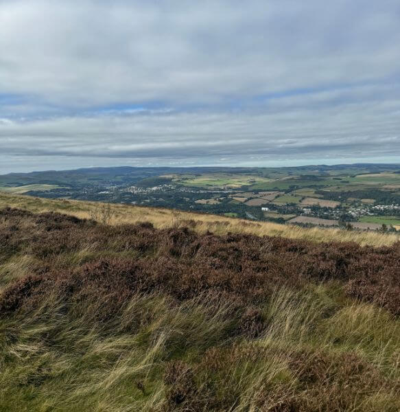
Visibility from the surrounding area
The primary design objective is to ensure the data centre has minimal visual presence from key walking routes and roads in the area. The combination of natural topography, sculpted earthworks, and native planting is engineered to achieve this outcome, which will be rigorously tested and verified during the formal visual impact assessment.
Biodiversity and ecological restoration
The strategy for the site extends beyond minimising visual impact to delivering long-term biodiversity net gain across the development area.
A central element of this plan is the rewetting of a previously drained area of moorland adjacent to the site. While the draining of moorland for agriculture was common practice throughout the 20th century, it historically led to the loss of peat, habitat degradation, and a reduced capacity for the land to store carbon and absorb water.
Rewetting reverses these impacts by restoring the natural, sponge-like quality of the peat. This process re-establishes vital habitats for wading birds, bog plants, and invertebrates, allowing the ecosystem to function naturally. This commitment to ecological restoration is embedded in the project’s design from the initial planning stages.
Think the design could go further?
We are at an early stage and the design is not finalised. If you have thoughts on how the visual impact could be reduced further, or how the biodiversity commitment could be strengthened, we want to hear them. This is the right moment to say so.